Breaking
TUM Drone Laser System Maps Volcano Gas Before Eruptions - DroneXL
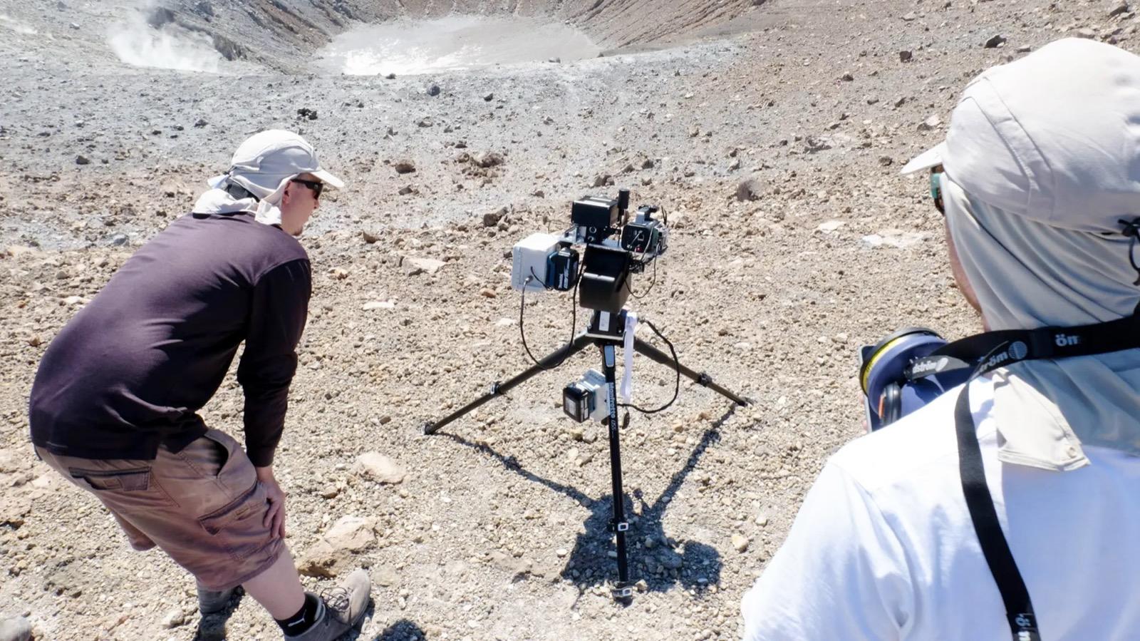
Munich researchers flew an autonomous drone-laser system over an active volcano and mapped its gas cloud with 5% error. The target: the CO2-to-SO2 ratio that shifts before an eruption, giving a warning window seismic sensors miss.
Not sure which DJI to buy? Check the Buyer's Guide →