Breaking
DJI Air 3S: Night LiDAR for Precision Surveying - Foro3D
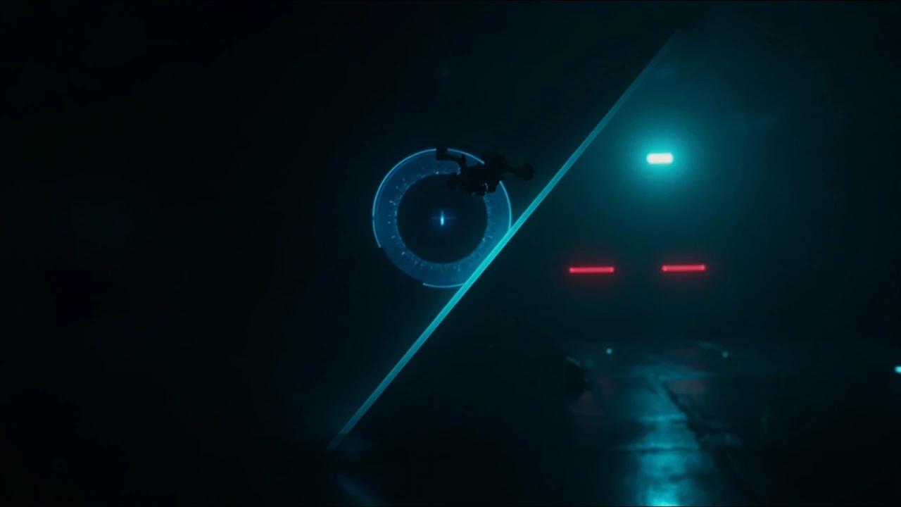
Night was dead time for surveyors. DJI's Air 3S uses LiDAR to map tunnels, bridges, and urban canyons in total darkness — eliminating the industry's biggest bottleneck: waiting for daylight.
Not sure which DJI to buy? Check the Buyer's Guide →